Topsfield Linear Common

During my trip to the North Shore, I visited quick history stops and trails in Essex County, Massachusetts. On two occasions, I walked along the Topsfield Linear Common (TLC), which includes a rail trail, pedestrian bridges, peaceful water, and a model solar system. With a stone dust path and plenty of parking areas, this trail is accessible to all.


A nifty sign near the center of town gave the history of the former local railroad. The Danvers & Georgetown Railroad began in 1851 and was slated to connect several local towns to the Essex Railroad. The line opened in 1854 but did not last as an independent entity for long. It merged with Newburyport Railroad in 1855, which in turn merged with the Boston & Maine Railroad (B&M) in 1860. Guilford Transportation Industries bought B&M in 1983 and currently operates as Pan Am Railways, a subsidiary of transportation giant CSX. However, the Topsfield branch of the enterprise has been defunct since 1981, although the Massachusetts Bay Transportation Authority (MBTA) has ownership of the tracks and surrounding land. In 2006, MBTA leased the railroad to Topsfield for ninety-nine years, allowing for the construction of this four-mile path.


While walking towards the south end of the trail, I found another great informational sign, this one focusing on the history of the Ipswich River. This body of water once acted as a power source to a range of mills along with a highway for transporting goods and people. The trail bridge I crossed was built on the same site as a previous bridge that Eastern Railroad Company of Massachusetts had constructed in 1854. That railroad had existed since 1836 and was a rival to B&M, a rivalry which ended with B&M leasing and then purchasing Eastern by 1890. I had last walked on a former part of Eastern at the Amesbury Riverwalk in Amesbury, MA.


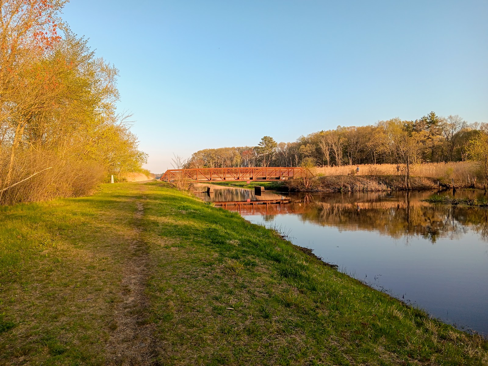
For me, the highlight of the trail is a pedestrian bridge spanning a canal. While currently a “bridge to nowhere”, I imagine the trail will be extended in the future. This bridge was constructed by Big R Bridge in January 2013. Since then, the company was seemingly bought out by Contech Engineered Solutions based in Palmer, MA. The bridge is marked with an HS20 vehicle load limit, meaning a semitruck with less than an 8,000 lb load on the cab axle and 16,000 lb loads on each of the trailer axles is safe to cross the bridge. This is overkill for a bridge currently used for pedestrians, but it does indicate a plan for future path building.


Finally, the Topsfield Linear Common Scale Model Solar System was an Eagle Scout Project completed by Troop 81 scout Liam Gillespie in 2021. The stops consist of a well-designed informational sign and a tiny model of the planet inside a protective bubble. Or at least, it is supposed to: someone stole Mercury. I did not get a chance to see Jupiter, Saturn, or Neptune, but the more remote planets may have fared better.


Topsfield Linear Common is open from dawn to dusk. As part of the East Coast Greenway, the trail will hypothetically join other independently managed trails connecting Canada to Florida at some point before the world ends. For completed trails to continue your travels, the Danvers Rail Trail connects on the south side, while the Boxford Rail Trail to the north is still under development. I would gladly return to hike and bike here during future trips to the area.